Deep in the middle of Itasca State Park is Lake Itasca, the source of a small, unassuming stream that opens up to span over 2,300* miles to the Gulf of Mexico, creating the 4th largest river in the world.
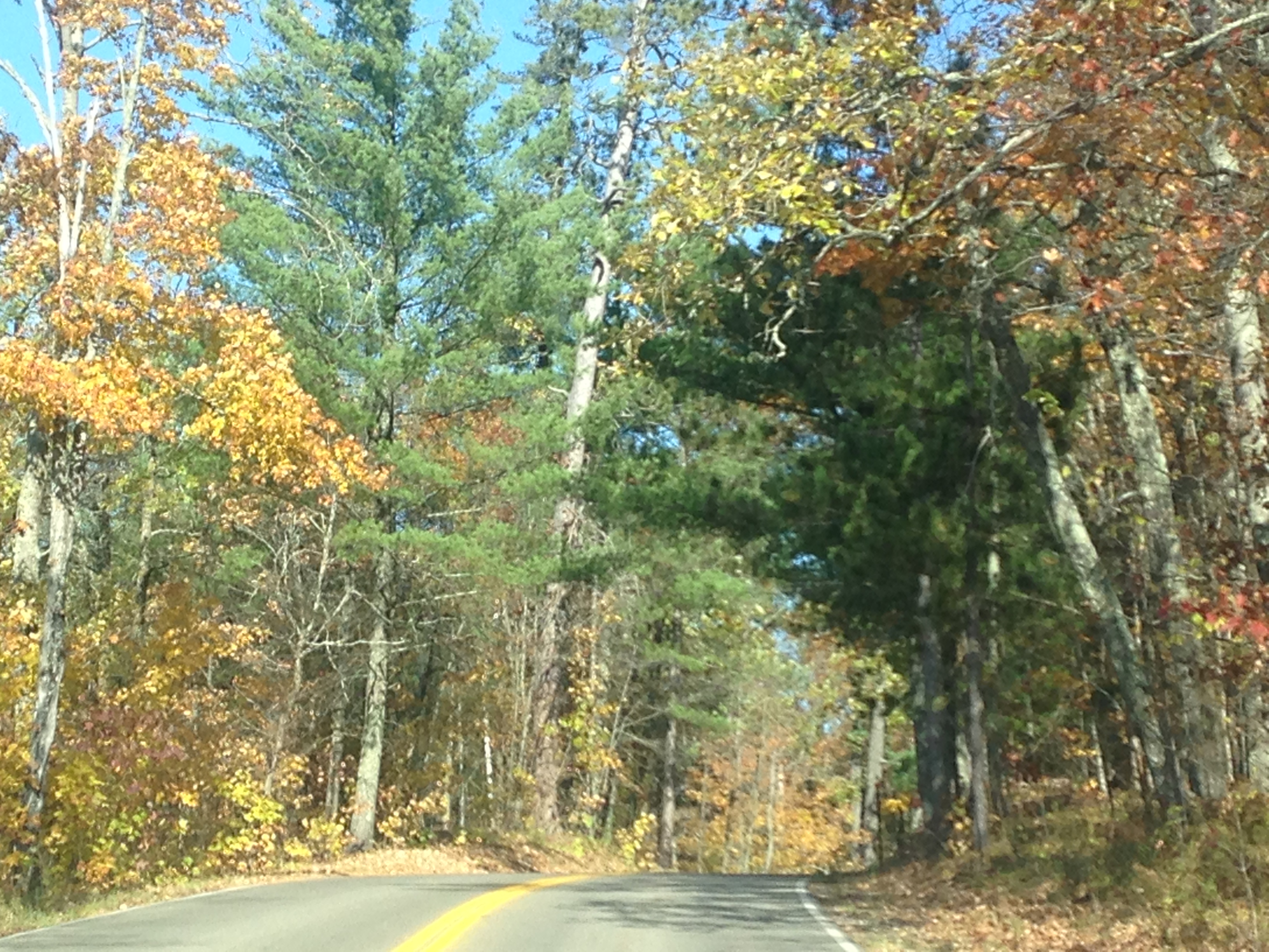
April & I drove through the huge 32,000-acre state park, heading for the closest parking lot to Lake Itasca. I’d like to interject that this is a beautiful time of year to visit the park, the foliage is gorgeous, the weather is nearly perfect for hiking, and there are very few, if any, mosquitos!
We finally found the parking lot and hiked down a winding trail to the lake, with a dam of rocks that is the start of the the Mississippi river.
After negotiating our way across the rocks, we walked downstream to the next crossing and crossed back. We ambled along side the stream for a bit, marveling at the size–or rather lack thereof. It seemed a mere trickle to what I had seen at various points downstream, including its delta in New Orleans.
After a few more pics–and the obligatory selfie (us-ie?)–we got back in the car and continued heading south, Twin City-bound!

PS–You can read a plethora of facts about the Mississippi River from the National Park Service, but one of the most interesting facts (in my humble opinion) is that the elevation of the river at Lake Itasca is 1475 feet above sea level and drops nearly half of that elevation before it leaves the state of Minnesota.
*Also there is some discrepancy exactly how long the river is, with some sources, like the US Geological Society, stating it is 2,300 miles and others, like Itasca State Park, stating it is 2,552 miles and still many more than fall in between these two lengths.
