As previously mentioned, our last day we decided to put some miles on the rental car and see where the open road would take us.
Not this open road.
But the one that follows this map (courtesy of Lonely Planet!):

We started in Poipu (southern most tip)–as that’s where we stayed. We drove to Lihue and then took the 56 (Kuhio Hwy) along the eastern and northern coasts as far as the road would take us. Also since I have the map here, if you were wanting a visual for our snorkeling/boat trip: we departed from Hanapepe westward bound for the Nā Pali Coast–so I wasn’t exaggerating when I said we pretty much circumnavigated the island!
Cartography aside, if you find yourself in Kauai (highly recommended)–then you should carve out a good chuck of time to make this scenic drive along the Kuhio Hwy. Estimated drive time from Poipu was about 3 hours roundtrip–more if you want to stop and take a shit-ton of pictures…which we did.
And of course, you need to allow yourself even more time if you want to tour the Kilauea lighthouse or snorkel along the way….which we did not.


Not that we didn’t want to but we were flying to the mainland that evening, so our first priority was to make sure that we had given ourselves enough driving/ogling/eating/drinking time to get all the way to the end of the road and back to the airport before our flight departed without us!
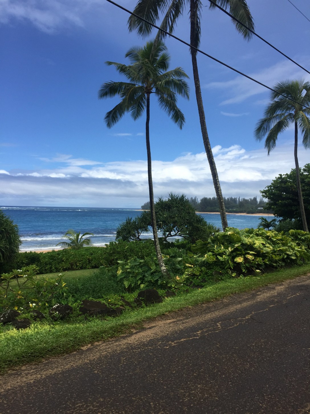
For the majority of our trip, the view on our east side was essentially something like this:
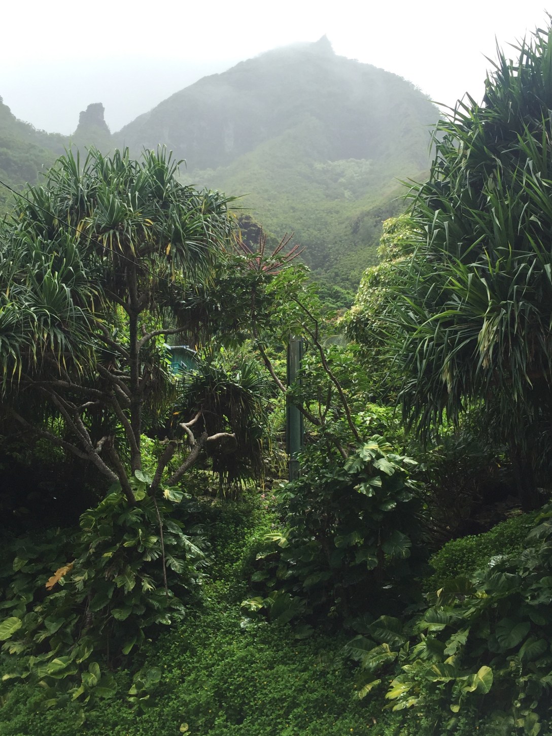
Meanwhile, our western view was almost a 180°:
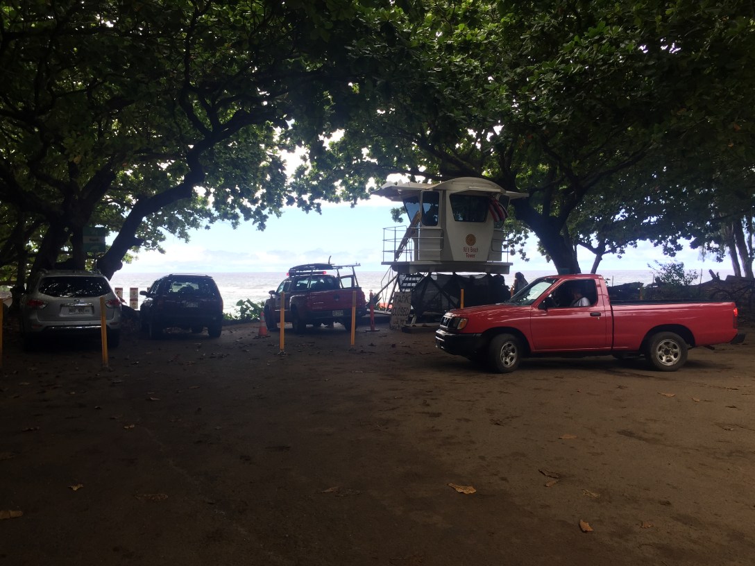
We soon found ourselves literally at the end of the road and had to make a u-turn (as demonstrated by the red truck below!).
Okay, so “soon” is a relative term–the scenic views and frequent photo stops made the trip seem a lot shorter than it was (although, I wasn’t driving so perhaps Tracy has a different opinion about “soon”).
Of course, I know the real reason you’re here–the photos! Obligingly, I have a small sampling of a mere 197 photos from our drive. Kidding…just…kidding… 😉


Aloha!
