I don’t know about you, but when I think of the location of the Hawaiian Islands I tend to think of it as smack dab in the middle of the Pacific Ocean due west of California.
However, it is actually a little bit further south than “due west of California.” Okay, quite a bit south of “due west of California.”
The Hawaiian Islands lie just below of the Tropic of Cancer–so if you want a “due west of” think Southern Mexico. To put it in USA geography terms, Key West (the Southernmost point in the continental United States) lies north of the Tropic of Cancer. In fact, Hawaii is so remote that it is not even considered part of the North American continent (see the map from World Atlas below)!

The reason I’m mentioning this is because we decided to split our trip to the Big Island by spending a couple of nights in Kona and then a night in Hilo. April & I were in charge of selecting the route and finding fun things to do along the way to Hilo. We opted for the Southern Route, which afforded us options to drive through the mountainous terrain of Kona, the overlook of Kealakekua Bay (where the fate of Captain Cook was decided), the volcano lava fields, the Mauna Loa macadamia nut company, a green sand beach, and the actual southernmost point in the United States.
After we left Greenwell Farms, we headed south down the main “highway.” Actually, highway was a bit of a stretch–much like our “yacht” in Greece. Winding, narrow two lane road is a bit more accurate, but it was scenic, so we didn’t care! Or perhaps Tracy did, since he was the one driving….but we girls didn’t mind one bit! 😉
Our first stop came only a few minutes down the road when we drove by the South Kona Fruit Stand. We decided that smoothies were the perfect thing for our trip south, along with some very interesting fruit we had never heard of…or heard of but never tried, like lilikoi, star fruit, and dragon fruit!

With smoothies in hand and fruit in the trunk, we continued south along the Mamalahoa Highway taking in the picturesque coastline views on one side and the lush mountain on the other side. Our next destination was Nā‘ālehu, home to both a green sand beach (more about that later) and Ka Lae, the southernmost point on the Big Island, which is the southernmost island, thus is the southernmost point in the United States.
Why, yes, I do like saying southernmost–thankyouverymuch!
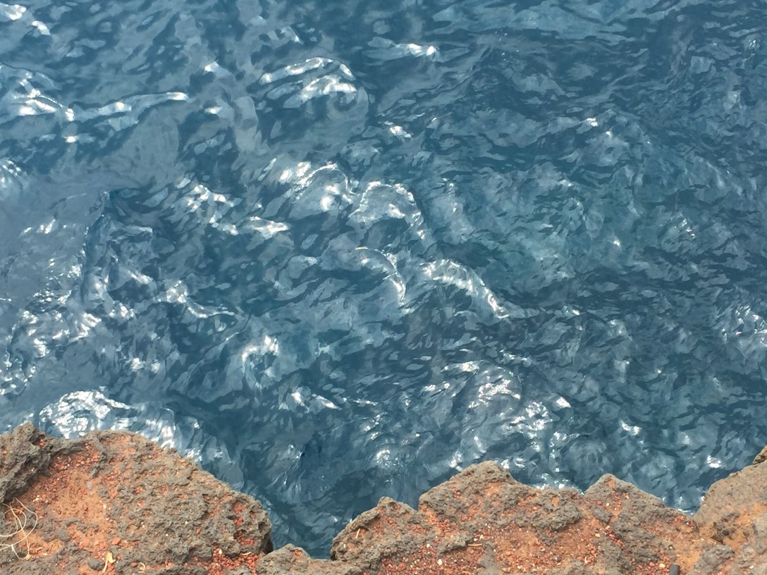
So we turned off the “highway” onto an even smaller road and wound our way here and there whilst following signs to the green sand beach and Ka Lae. We actually went to the beach first but it is deserving of its own post. After our trek to the beach, we stopped at Ka Lae for a glimpse of what seemed to be the edge of the world.
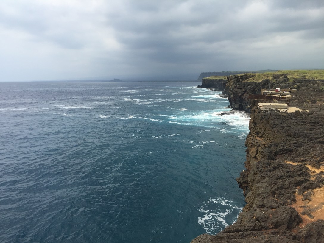
For those of you who would love the chance to jump off the edge of the world, there was even a platform–and a group of people willing.

And just in case you didn’t feel like scaling the steep wall back up or drifting out to sea (although I don’t see why not, after all the Kiribati Atolls are only 1200 miles away!), there was even a ladder to help you.

I peeked over and decided I was perfectly happy not jumping and drifting off to sea and/or climbing the ladder of death back up.
A few more quick shots and then we were on our way–having crossed off another item on our Hawaiian to-do list!

I’ve been to Hawaii, but had no idea it was located that far south of the USA. Thanks
LikeLiked by 1 person